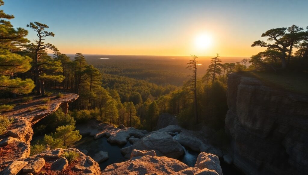
Navigating the Wild Heart: Your Guide to Big Cypress Gator Hook
Imagine the cool, dark water rising around your knees, reflecting the towering bald cypress trees draped in ghostly Spanish moss, their knobby knees breaking the surface like ancient sentinels. This is the immersive, untamed beauty you’ll discover on the Big Cypress Gator Hook trail, an experience unlike any other in South Florida. As you step deeper into the slough, the symphony of the Everglades truly envelops you, a chorus of unseen life echoing through the vast, watery wilderness. It’s a journey that demands respect, preparation, and a willingness to embrace the wild heart of Florida.
Trail Specifications
- Trail Name:
- Big Cypress Gator Hook
- Location:
- Ochopee, Big Cypress National Preserve, Florida
- Distance:
- Approximately 6-8 miles (round trip, out-and-back; varies based on exploration)
- Elevation Gain:
- Minimal (essentially flat, but involves wading through water)
- Difficulty:
- Strenuous (primitive, unmarked, requires deep wading and navigation skills)
- GPS Coordinates (Trailhead Access):
- 25.9080° N, 81.0400° W (Near Loop Road Scenic Drive)
- Best Season:
- Dry Season (November – April) for slightly lower water levels
- Dog-Friendly:
- No (due to alligators, snakes, and sensitive habitat)
Route Overview & Natural Highlights
The Big Cypress Gator Hook is not a conventional marked trail; rather, it’s an adventurous immersion into the slough systems that define Big Cypress National Preserve. You will navigate primarily through water, ranging from ankle-deep to waist-deep, across a landscape dominated by towering bald cypress (Taxodium distichum) and pond cypress (Taxodium ascendens) domes. The terrain underfoot is a mix of soft marl, limestone bedrock, and submerged vegetation, offering a challenging yet rewarding trek.
Ecologically, this area is a biodiversity hotspot. Keep your eyes peeled for a multitude of wading birds such as the elegant Great Egret (Ardea alba), the vibrant Roseate Spoonbill (Platalea ajaja), and the elusive Limpkin (Aramus guarauna). Alligators (Alligator mississippiensis) are ubiquitous residents, often seen basking or slowly cruising through the water. You might also encounter various snake species, including the non-venomous Florida Green Water Snake (Nerodia floridana) or, less commonly, the venomous Eastern Diamondback Rattlesnake (Crotalus adamanteus) on higher ground. The cypress trees themselves host a fascinating array of epiphytes, including various bromeliads like the Cardinal Airplant (Tillandsia fasciculata) and delicate native orchids.
Geologically, the Big Cypress is shaped by its underlying limestone bedrock. Solution holes and shallow depressions are common, forming the sloughs and cypress strands you traverse. The water here, often stained a tea-like color from tannins, is surprisingly clear beneath the surface, allowing glimpses of submerged aquatic plants and the occasional darting fish. This unique wetland ecosystem, part of the greater Everglades system, functions as a vital water filter and reservoir for South Florida, making your journey through it a profound connection to the region’s ecological heart.
Turn-by-Turn Trail Breakdown
Trailhead Start: The Initial Plunge
Your adventure typically begins off the unpaved Loop Road Scenic Drive, a historic route that winds through the preserve. There isn’t a marked trailhead for the Gator Hook; instead, you’ll choose an entry point into the cypress slough. The first few hundred yards will likely involve wading through ankle to knee-deep water, navigating around cypress knees and submerged logs. The canopy quickly closes in, and the sounds of the road fade, replaced by the rustling of sawgrass and the calls of birds. Orient yourself using a GPS device or compass, as visible landmarks are few and far between in the dense cypress forest.
Mid-Trail Features: Deep into the Cypress World
As you venture deeper, the water can become waist-deep or even chest-deep in certain depressions, particularly during the wet season. The “hook” refers to a bend or particular area within the slough system that offers a deeper sense of wilderness. You’ll pass through areas of dense cypress stands, interspersed with open sawgrass prairies (Cladium jamaicense) and occasional tree islands, or hammocks, where slightly higher ground supports hardwood species like live oak (Quercus virginiana) and cabbage palm (Sabal palmetto). Look for signs of wildlife – tracks in the soft marl, splashes in the water, or the distinctive eyes of an alligator peeking from the surface. The sense of remoteness here is profound, a true escape into primeval Florida.
Destination & Return: The Wild Turnaround
Since this is an unmarked trail, your “destination” is often determined by your comfort level, time, and energy. Many hikers aim for a turnaround point after 3-4 miles, creating a substantial 6-8 mile round trip. The return journey requires careful retracing of your steps, or skilled navigation if you choose a slightly different route through the slough. The light filtering through the cypress canopy changes throughout the day, offering new perspectives on the same scenery. Always allow ample time to return before dusk, as navigating in the dark here is exceptionally challenging and dangerous.
Seasonal Guide & Best Times
- November – April (Dry Season): This is the optimal time. Water levels are generally at their lowest, making wading less strenuous, though you should still expect to be wet. Temperatures are cooler and more pleasant, reducing the risk of heat exhaustion and insect activity.
- May – June (Transition/Early Wet Season): Temperatures begin to rise, and afternoon thunderstorms become more frequent. Water levels start to increase. Expect higher humidity and more mosquitoes.
- July – October (Wet Season): This is the most challenging time. Water levels are at their highest, often making sections impassable without swimming. Intense heat, humidity, and abundant insects (mosquitoes, horseflies) are common. Not recommended for most hikers.
- Year-Round Consideration: Always check the current water levels and weather forecasts with the Big Cypress National Preserve Visitor Center before attempting this trail.
Essential Gear & Safety
- GPS Device & Map: Absolutely mandatory. This trail is unmarked. Do not rely solely on a phone; bring a dedicated GPS.
- Appropriate Footwear: Old sneakers or water shoes with good traction that you don’t mind getting soaked. No open-toed sandals.
- Long Pants & Long-Sleeved Shirt: Protection from sun, insects, and abrasive vegetation. Quick-drying materials are best.
- Plenty of Water & Snacks: You’ll be expending significant energy. Bring more than you think you need.
- First-Aid Kit: Including insect repellent, blister treatment, and any personal medications.
- Sun Protection: Hat, sunglasses, and sunscreen.
- Dry Bag: To protect electronics, keys, and anything else you need to keep dry.
- Walking Stick/Trekking Poles: Invaluable for balance, probing water depth, and pushing through vegetation.
- Inform Someone: Always tell someone your exact plans and expected return time.
- Wildlife Awareness: Be aware of alligators, snakes, and other wildlife. Maintain a respectful distance and never feed animals.
- Find more information and potential route ideas on AllTrails for Big Cypress National Preserve (note: specific Gator Hook route may not be listed due to its primitive nature).
Getting There & Parking
The Big Cypress Gator Hook trail is located within Big Cypress National Preserve, near Ochopee, Florida. Access is typically gained from the unpaved By Founders Library Press A structured framework for strategic clarity, productivity, and authentic execution. Live acoustic sessions, gallery receptions, literary salons, and independent trade shows across Miami.Curated Literature & Miami Downtown Calendar
The Architecture of Focus: Deep Work & Modern Mastery
Upcoming Downtown Happenings
